Summer Springboard
Geography & Technology at Cal Poly SLO
ACADEMIC COURSE


EXPLORE THE WORLD THROUGH TECHNOLOGY AS YOU MAP ANALYZE AND TELL STORIES USING GIS REMOTE SENSING AND FIELD DATA
Course Highlights
- Use Geographic Information Systems (GIS) and remote sensing tools for mapping and spatial analysis.
- Learn GPS technology and field techniques for accurate geographic data collection.
- Build geoprocessing expertise using ArcGIS and QGIS software.
- Conduct field mapping and overlay points, lines, polygons on aerial or satellite imagery.
- Collect and analyze your own data from sources like NASA, government, and nonprofit databases.
- Produce a story map and report featuring publication-ready maps with accessible text for general audiences.
Summer Springboard
Geography & Technology at Cal Poly SLO
Course Overview
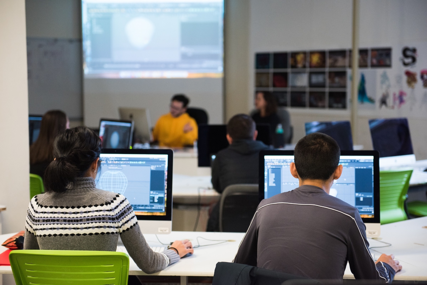
Ready to jump-start your future in Geography? In this program, students will learn foundational geographic concepts, learning how to make maps using Geographic Information Systems (GIS), GPS, and doing field work. This hands-on experience will teach students map points, lines and polygons in the field, overlay them on aerial/satellite imagery and perform data analysis.
Students will be given considerable latitude in choosing to map of something that interests them based on data from the web; including but not limited to the census, the USGS, NASA, federal/state/local government, non profits, foreign governments, news and social media. Any data is fair game, and students are expected to bring an idea of a map they’d like to make, creativity in sourcing their own data, and the initiative to help make it happen. Finally, students will write up their experience and work into a story map, and report, with publication-read maps, and easy to understand text for a general audience.
LEARNING OUTCOMES
Outcome #1
Gain hands‑on experience with GIS and remote sensing to analyze spatial data in real-world contexts.
Outcome #2
Acquire GPS and field data collection skills for mapping real-world features in diverse environments.
Outcome #3
Develop geoprocessing proficiency using industry-standard software such as ArcGIS and QGIS.
Outcome #4
Explore geography career paths and understand how to begin in this diverse and dynamic discipline.


